
Created on 99designs by Vista
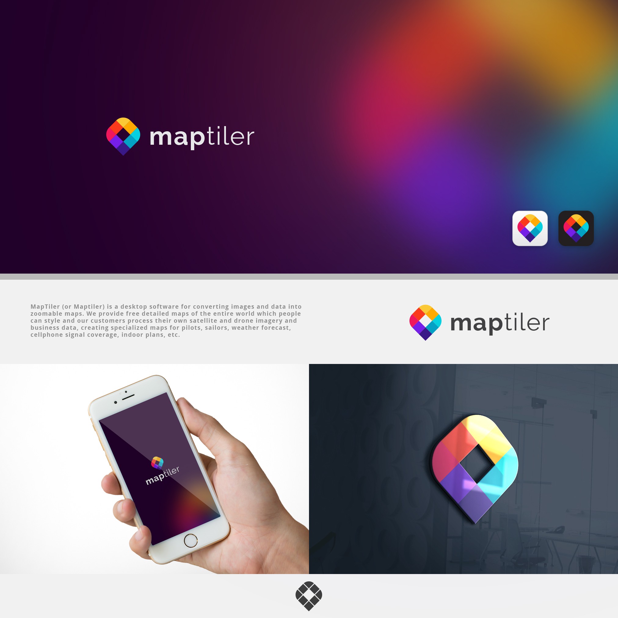
MapTiler (or Maptiler) is a desktop software for converting images and data into zoomable maps. We provide free detailed maps of the entire world which people can style and our customers process their own satellite and drone imagery and business data, creating specialized maps for pilots, sailors, weather forecast, cellphone signal coverage, indoor plans, etc.